
Westfield Neighbor Records
Westfield neighbors are documented in layers. Parcel data supplies the mapped setting and recorded owner or mailing fields. The Registry can add a legal title trail. A local voter list, when lawfully requested, has defined public fields and exclusions. Street lists and directories describe past households, while civic and archive sources can show public participation or historic affiliation. None of those sources is a complete present-day household roster.
| Source | Block information | Access |
|---|---|---|
| WebGIS and parcel REST layer | Adjacent parcel shapes, situs, ZIP, owner/mailing, zoning, sale, and year-built fields | Public map and REST data; live popup/export details not captured |
| Westfield Assessor | Parcel account, recorded owner, and assessment clues | VGSI portal or Assessors office |
| Hampden Registry | Prior owners and recorded legal instruments | Public index and images; pre-1948 scanned-index workflow |
| Local voter list | Lawfully released name, address, party, DOB, status, and voter-ID fields | City Clerk request with protected exclusions |
| Street lists and directories | Historic house-number occupants and occupations | Westfield Athenaeum reference collections |
| Civic and archive sources | Ward governance, public participants, or historical affiliations | City pages, public agendas, and archive contact routes |
Recorded ownership and occupancy must remain separate. Owner mailing fields may point outside Westfield or to an entity address. A historical directory entry identifies an occupant in the year it was printed. Neither field proves that every person in a household is a current neighbor.
Mapping Westfield Neighbors
The city’s WebGIS is the starting point for a single block. Search or zoom to the situs address, turn on parcels and any relevant planning, zoning, flood, or district layer, then identify the target parcel and the parcels that touch or face it. The research verified the map, parcel geometry, and REST fields. It did not capture exact live popup, buffer, measure, or export-widget labels, so a radius tool or public CSV export should not be assumed.
- Find the known address on the city map and note the parcel’s situs address and parcel shape.
- Walk along the immediately surrounding parcel shapes and record each site address or parcel identifier.
- Where available, compare OWNER1, OWN_ADDR, and the Registry cross-references LS_BOOK, LS_PAGE, or REG_ID.
- Use the Hampden Registry for a recorded-title question, reading the legal description and earlier book and page when an address changes.
- Keep layer name and date with the notes. A zoning, flood, or service overlay does not identify a household.
Westfield’s parcel GIS REST layer exposes the parcel attributes that support this adjacent-parcel method.
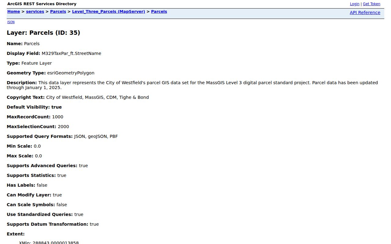
The schema includes SITE_ADDR, ADDR_NUM, FULL_STR, CITY, ZIP, OWNER1, owner mailing fields, LS_DATE, LS_PRICE, zoning, year built, and Registry references. Sorting or filtering the REST data requires GIS software or a public request if the public map lacks the needed control.
Westfield Neighbor Ownership Clues
A parcel has a situs address, the physical place where land sits, and it may have a different owner mailing address. The Westfield fields SITE_ADDR, ADDR_NUM, and FULL_STR belong to the situs. OWN_ADDR, OWN_CITY, OWN_STATE, and OWN_ZIP are mailing information. A mailing address can be a tax-billing address, a business address, or an address in another city. It is a lead for a recorded owner, not a declaration of who lives on the block.
The Registry adds the legally recorded chain. Begin with the owner and LS_BOOK, LS_PAGE, or REG_ID from the parcel source. Search post-1948 instruments by address or name, then read the purchase deed for grantor, grantee, consideration, date, legal description, and prior reference. For older material, scan the grantor or grantee index before opening the book and page. Legal description controls when map boundaries and a deed description differ.
Westfield Civic Neighbor Contacts
Westfield’s Master Plan Update for 2023 calls for recognition and support of Neighborhood, or Ward, Councils and Civic Associations. That is not the same as a maintained city roster. No official Westfield neighborhood-association roster or member directory was located. The city’s Boards and Commissions information, City Council ward pages, public agendas, and civic contact routes are the reliable public channels for a civic question.
| Group or route | Verified availability | What it can provide |
|---|---|---|
| Ward councils and civic associations | Plan recognizes their role; maintained roster was not located | No member directory should be presumed |
| Westfield City Council | Six ward seats and seven at-large seats | Ward governance, public pages, and agendas |
| Greater Westfield Chamber | Public organization and business directory with contact route | Community or business affiliation, not a resident roll |
| Westfield Athenaeum | Public research room and archives contacts | Historical directories, records, and local-history guidance |
| Western Hampden Historical Society / Dewey House | Public contact form and house-history route | Historical resource; no member roster found |
Westfield Elections is a public city contact point for current ward and voting information.
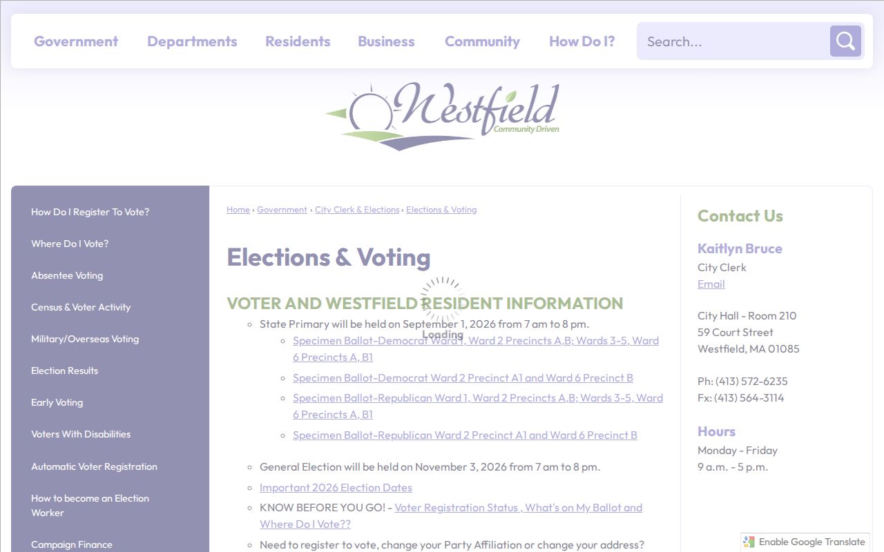
Ward geography can orient a civic contact. It cannot identify who lives at an address, and it should not be turned into a block list. The City Clerk is the channel for a request for lawfully releasable municipal voter-list fields.
Westfield Neighbor History Sources
Local history can add context to a block without claiming current residency. The Athenaeum’s Reference Room has city directories from 1873 to 1989, street lists from 1930 forward, newspapers from 1782 forward, and an obituary index from 1977 forward. Its Donald Blair Research Center includes late-1600s material, church records, school records, cemetery records, business files, photographs, maps, diaries, and historic-house files.
Westfield Historical Commission is a public city resource for historic-property research and preservation context.
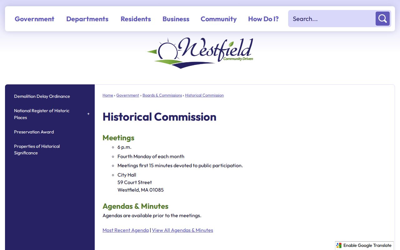
Westfield’s historical-property material includes city context for addresses, and the Athenaeum can connect names to earlier street lists, directories, or maps. A historic affiliation in a church book, Masons directory, hotel register, cemetery record, or business file remains historical evidence, not a present block roster.
Westfield Voter Limits for Neighbors
Massachusetts online voter registration search is person-specific. It requires first name, last name, full date of birth, residential ZIP, and agreement to the statement. The online return is limited to registration status, active or inactive status, polling place, and state or federal officials. It cannot be used to anonymously retrieve all people along a block or in a neighborhood.
Municipal voter lists may be requested from the City Clerk, with public fields that can include name, address, party, date of birth, active or inactive status, and voter ID. On request, some lists may also include participation history, prior changes, mailing address, registration date, and inactivity date. Phone and email, veteran status, permanent absentee status, minors, confidential voters, and the statewide central list are not ordinary public bulk data. Ballot choice must never be inferred from participation.
Westfield Neighbor Tool Comparison
Official records preserve the source, field, and access rule. Private neighbor-lookup tools combine address history, public filings, marketing data, and other sources, with different coverage and correction practices. A private result may be useful as a lead, but it is not a substitute for an Assessor card, Registry instrument, City Clerk response, or Athenaeum collection. Protected voter, utility, DMV, and private household information do not become available because a private tool says it has a match.
| Official records route | Private lookup category |
|---|---|
| Identifies the custodian, date, field, and legal access condition. | May combine stale or conflated information from multiple sources. |
| Parcel and Registry entries can be checked against the underlying record. | Address history can be a lead, not proof of present occupancy. |
| Correction begins with the responsible office. | Removal and correction policies vary, and opt-outs are service-specific. |
For a reproducible block question, retain the parcel identifier, source date, and exact record type. That makes it possible to see why a name was associated with a parcel without expanding a single clue into a claim about a household.
Westfield Neighborhood Map Context
The city GIS hub includes interactive WebGIS, assessor maps, zoning, street, fire-response district, parks, refuse-route, sewer, and bid-district maps. Planning and zoning instructions direct users to Layers, then Planning & Zoning, before entering or zooming to an address. Water Resource Protection and Floodplain Management overlays correspond to Zone II and FEMA flood zones. The city warns that the current map may not yet reflect June 30, 2026 stormwater changes.
These layers can explain land use or public-service geography around Westfield neighbors. They do not identify people. For navigation, the city’s 2026 street map supplies an A-S by 1-13 index grid and shows surrounding communities and routes, but the research found no verified citywide readdressing rule or neighborhood boundary roster.
Westfield Neighbor Privacy Limits
Several kinds of block information remain private. They include renters and household members who are not independently recorded, protected-voter addresses, Address Confidentiality Program substitute or underlying addresses, utility and delivery customer data, phone and email, unlisted numbers, adoption files, impounded court material, and nonpublic health or license information. Massachusetts ACP participants use a substitute address for eligible safety situations, and actual-address disclosure follows protected procedures.
Lawful use. Neighbor research can support personal safety awareness, reconnecting, civic questions, and local history. M.G.L. c.265 §§43 and 43A prohibit stalking and criminal harassment; no public record authorizes monitoring, threatening, or intimidating a person.
If an address or record appears inaccurate, contact the office that maintains it. Do not seek restricted records by pretext, ask for a protected address, or treat a mailing clue as permission to contact someone. The most accurate answer about Westfield neighbors is often a narrow one: what a specific public record says, on the date it was checked.