
Trace a Westfield Street by Address
Start with a physical address, not a name alone. Westfield uses common street abbreviations including St, Rd, Av, La, Te, Bd, Cl, Dr, and Wy. Try the number and street name in the Westfield Appraisal Vision assessor portal. If a spelling variant does not return a result, use the city map to locate the parcel, then compare the property fields. The goal is to label each observation precisely: recorded owner, owner mailing clue, registered voter, or historical occupant.
The strongest address trail moves from the current parcel to the legal land record, then to carefully limited registration and historical sources. It does not turn one record into a household roster. That order also makes it easier to spot a changed number, a different owner mailing address, or an old street spelling before the search moves farther back.
- Find the situs address in VGSI or the city GIS and note the parcel’s current owner field, address fields, and Registry references.
- Open the same parcel in the REST layer or WebGIS, then save the location, ZIP, last-sale, zoning, and book/page clues that are actually displayed.
- Use the Hampden Registry deed index to find the purchase deed and work from the buyer to the prior seller.
- Use the state voter lookup only to confirm one person with the required identity inputs, or ask the City Clerk for a lawful local-list route.
- Check Athenaeum street listings and earlier address-linked directories for dated occupant evidence, then keep that evidence separate from title.
Note: A complete street search records the source, date, and record type for each address instead of collapsing different evidence into one label.
Westfield Street Directory Parcel Fields
Westfield parcel records supply the address fields used for street searching. The assessor portal advertises property-information searching, but its live control labels were not exposed during the research inspection. The Westfield parcel GIS REST layer provides the clearer field-level view. It distinguishes the property’s situs from the mailing contact attached to the owner record, which is essential for a sound street search.
| Westfield field or control | Record role | Street-search use |
|---|---|---|
| Assessor search controls | Dynamic portal controls | Property search is advertised; exact live labels were not verified. |
| Owner name and address/location | Expected text or autocomplete | Use the city abbreviations; partial-match behavior was not verified. |
| ADDR_NUM, FULL_STR, SITE_ADDR | REST situs fields | Identify the physical parcel address. |
| OWNER1 | REST owner field | Identify the recorded owner shown in the current layer. |
| OWN_ADDR, OWN_CITY, OWN_STATE, OWN_ZIP | REST mailing fields | Read a tax or correspondence address separately from the parcel. |
| LS_DATE, LS_PRICE | REST sale fields | Place the last-sale clue in time. |
| LS_BOOK, LS_PAGE, REG_ID | Registry linkage fields | Move from the parcel toward the deed index. |
| USE_CODE, ZONING, YEAR_BUILT | Property-context fields | Add use, zoning, and construction context without inferring occupancy. |
The FY2026 VGSI portal says its assessment reflects 2024 real-estate sales and an appraisal date of January 1, 2025. Its own notice treats the display as an unofficial convenience record, while the Assessors’ office holds the official record. That distinction matters when a copy, correction, exemption, or abatement question needs an office response rather than a screen reading.
The assigned screenshot shows the Westfield Appraisal Vision assessor search used for this address-first approach.
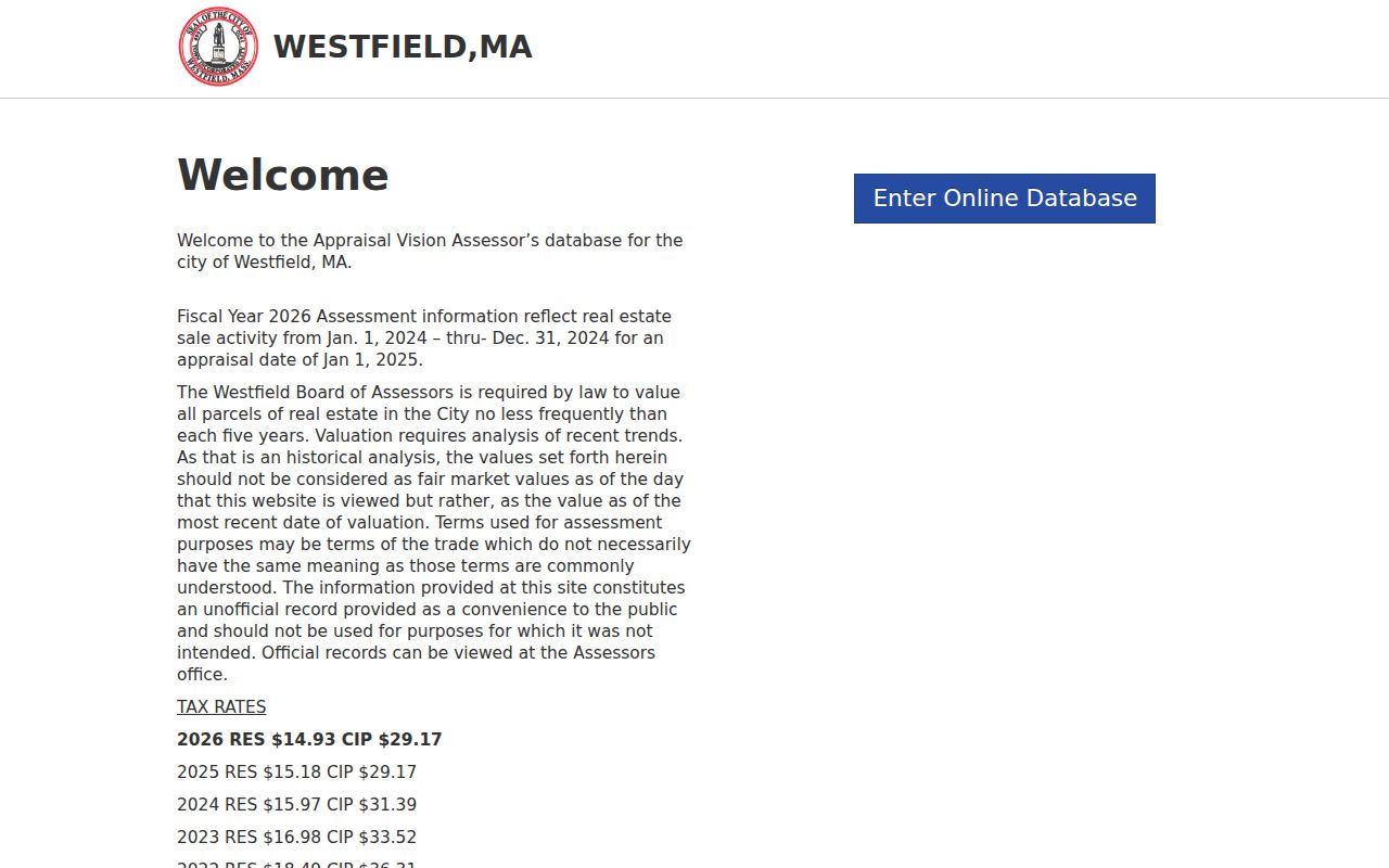
Use the assessor display as a starting point, then compare its owner and address clues with the official parcel and Registry records when the distinction affects the search.
Walk Westfield Streets in GIS
For a street-by-street pass, center the city’s interactive WebGIS on one situs address and turn on the parcel layer. Move along the street and record only the parcel identifiers and address fields that are visible. The city GIS hub also links assessor maps, zoning, fire-response districts, parks, refuse routes, sewer planning, and bid-district maps. Those layers can add context, but an overlay line is not evidence that someone lives at an address.
The REST layer is helpful when a row needs the exact field names for situs, owner mailing, sale, zoning, year built, or Registry references. Research did not verify the live popup labels, a public radius tool, an export button, or a CSV download. Do not describe those controls as available until the live map shows them.
The assigned image comes from the Westfield parcel GIS REST layer, where the address and Registry fields can be inspected before a deed search.
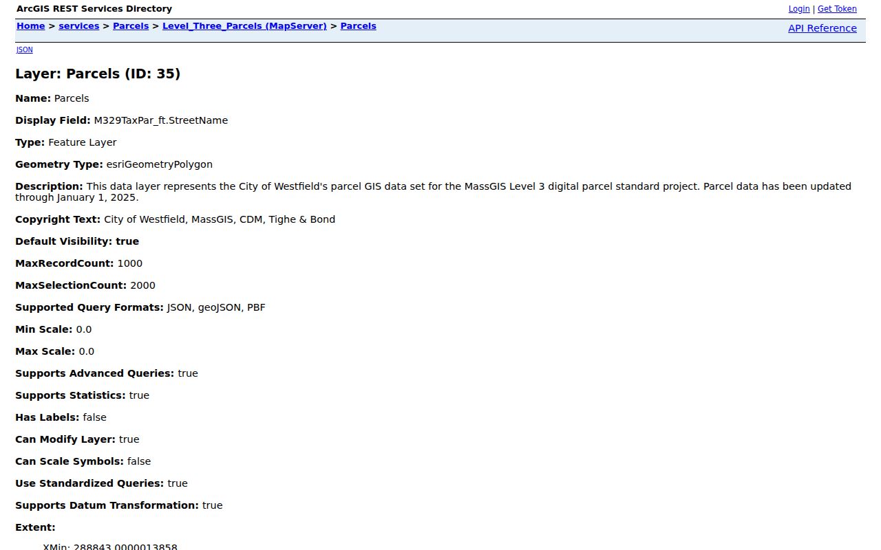
Reading this schema makes the address split visible: the parcel location fields identify the site, while the OWN fields identify the owner’s mailing information.
Use the Westfield Street Map Grid
The January 2026 Westfield street map uses a street index with columns A through S and rows 1 through 13. Created with 2023 MassGIS imagery, it also shows connections toward Southampton, Holyoke, West Springfield, Russell, Granville, Montgomery, Southwick, and Yarmouth, along with Routes 10, 20, 202, 187, and I-90. It is useful for locating a street and testing nearby numbers before inspecting a parcel.
The map is a navigation aid, not an address-authority record. Engineering is the city office identified for GIS and Assessor Maps. No official Westfield source established a citywide renumbering year, renaming project, quadrant rule, or annexation readdressing map. Preserve the old printed spelling and compare the legal description or prior book/page when an older address does not line up cleanly.
Note: A Westfield postal label and a municipal parcel are separate geography questions, so confirm the parcel CITY field instead of assuming a map or ZIP settles either one.
Westfield Street Directory Records
For a Westfield street directory search, use several address-keyed record sets, each with a different purpose. The assessor and GIS pair establish the current parcel and owner fields. The Registry establishes the legal chain. The City Clerk handles local voter-list access subject to law and confidentiality. Athenaeum material can add a dated household entry. Keeping these categories apart makes an address list more accurate and avoids claims the records do not make.
| Address-keyed source | Westfield keeper or route | Person clue | Important limit |
|---|---|---|---|
| GIS REST parcel | Westfield Engineering/GIS | Owner and mailing fields tied to situs data | Current layer, not every person at the address |
| VGSI property card | Westfield Assessors | Assessed owner, value, and use | Dynamic card fields were not captured; portal is a convenience record |
| Deed index and images | Hampden Registry | Grantor, grantee, legal transfer, and title history | Legal index, not a household roster |
| Tax commitment | Assessor and Collector/Treasurer | Owner, location, mailing, parcel, tax, and installment clues | Billing information is not residence proof |
| Local voter list | Westfield City Clerk | Lawfully released registration fields | Request rules and protected-record exclusions apply |
| Street list or directory | Westfield Athenaeum | Historical house number, name, and occupation | Dated evidence, not a current universal record |
| Permit or code file | Building, Planning, Community Development, or Health | Address and project association when public | OpenGov history and searchable fields remain unverified |
The same address can therefore have several truthful labels. A current owner, a past grantee, a registered voter, and a directory occupant may be different people. The records are most useful when their date, field, and custodian stay with the result.
Compare Westfield Address Clues Carefully
Mailing address is the most common source of a false street claim. In the parcel layer, SITE_ADDR, ADDR_NUM, FULL_STR, CITY, and ZIP describe where the parcel sits. OWNER1 identifies the owner field. OWN_ADDR, OWN_CITY, OWN_STATE, and OWN_ZIP describe the mailing information associated with that owner record. A mail address can be in another city or state, can be a billing address, or can belong to an entity. It is never proof that the person receives mail there or lives at the parcel.
That is also why a recorded owner, a registration result, and a historic directory listing cannot be merged into a single claim about a household. The comparison below preserves the proposition of each source rather than making a stronger conclusion than the record supports.
| Address clue | What it can support | What it cannot prove alone |
|---|---|---|
| OWNER1 and Registry deed | Recorded ownership or a legal transfer | Every present occupant |
| Owner mailing fields | Mailing contact attached to the owner record | Physical occupancy of the parcel |
| Individual voter result or local list | Legally releasable registration information | Ballot choice or protected information |
| Street list or directory | Historical address association in its publication period | Current ownership or current residency |
This distinction is a useful check against a common records myth: matching one name to one address does not establish who is presently in a household.
Follow a Westfield Street Deed Chain
Once the parcel supplies an owner and LS_BOOK, LS_PAGE, or REG_ID, search the Hampden Registry instructions by current owner or address. Open the purchase instrument and read the grantor, grantee, consideration, date, legal description, and prior reference. Then search the seller as an earlier grantee and repeat. If the instrument is an estate distribution, move to the probate record rather than assuming the next deed tells the full story.
Legal descriptions can use a lot or plan, metes and bounds, municipality, or a prior book/page. A map boundary helps locate the parcel, but the deed’s legal description controls. Registry staff cannot draft instruments or give legal advice, and an indexed grantee name is a research clue rather than a title opinion. Certified copies require a call or visit; the Registry says website copies may be printed.
The Hampden Registry public deed-index search is the source shown in the assigned image.
Use the image as a reminder to move from a current parcel clue to the public index, then record the document reference before drawing any conclusion about a Westfield address.
Note: The Registry keeps property records from 1636 to today, but its search method changes at the 1948 index boundary.
Search Westfield Deeds Before 1948
Documents dated after January 1, 1948 can be searched through the Registry’s public modes by name, address, book and page, year and instrument number, or entry date. Westfield’s municipality code is WFD. For a post-1948 address search, that can be the quick route from a parcel to a recorded transfer. The Registry’s published coverage is 1636 to today.
Earlier documents are online, but they require a different approach. Choose Registry Records, then Scanned Index, select Grantor or Grantee, enter the surname, optionally limit the years, and browse the scanned index pages. Open the book icon, read the entry manually, write down the book and page, and use Book & Page to open the image. The older work is slower, not absent.
Search the official Registry abbreviations before filtering by document type. Codes such as DEED, MTG, REL, ESMT, FDD, TT, LIEN, and VOTE may help narrow a known question, but the official spelling controls the search.
Read Westfield Street Lists by Year
Ownership and occupancy are different research paths. The Westfield Athenaeum holds street listings from 1930 to the present that can place house numbers beside names and occupations for a particular period. Earlier city directories are alphabetical but address-linked, and tax lists from 1894 through 1929 are arranged in street and taxpayer order. These sources can show who was associated with an address at a point in time, then the deed chain can test whether the person was an owner.
A criss-cross directory reverses the usual name-to-address arrangement by organizing entries by street and house number. Westfield’s research collection is the practical local route for that address-to-name work. The Westfield City Directory follows the broader collection trail when an address search needs more historical context.
Do not force pre-ZIP sources into a modern delivery label. Preserve the historic street form, compare nearby house numbers, and use the map grid plus the deed legal description when a printed entry and a current address differ.
Respect Westfield Street Voter Limits
The Massachusetts Voter Registration Search is an individual confirmation tool, not a street roster. It requires first name, last name, month, day, year of birth, a five-digit residential ZIP, and an agreement checkbox. Its limited return may show registration status, active or inactive status, polling place, and state or federal officials. A recent registration can take two to three weeks to appear, and a former ZIP may help after a move.
For a public local list, contact the Westfield City Clerk and Elections office at 59 Court Street, Room 210. The state access instructions direct a requester to the local municipal clerk for a paper or electronic list and production cost. Ask for a particular ward, precinct, date, and field list. The research did not locate a standard Westfield download form or statewide fee table.
Phone and email information, veteran status, permanent-absentee status, minors, confidential-voter information, and the statewide central list are not ordinary public street data. Participation history does not reveal a ballot choice.
Request Westfield Address Records
Address-based records sometimes sit outside the parcel and deed systems. Westfield’s OpenGov permitting route began July 1, 2026 and handles permits, licenses, payments, status tracking, messages, inspection scheduling, and report or permit printing. Research did not verify public historic coverage, public search fields, or a code-enforcement backfile. Treat a portal result as an available current route, not proof of a complete historical address file.
For an older or missing record, identify the address, record type, and date range, then ask Building, Planning, Community Development, Health, or the appropriate custodian for the specific document. A written request under the Massachusetts Public Records Law, G.L. c.66 §10 is the safest route when an appeal may be needed. The records-access officer must respond within 10 business days, and the research recommends requesting electronic delivery where available.
Permits can connect an address to a project, applicant, or owner where the record is public. They do not create a complete list of people at that address, and redactions or access rules may limit what is released.
Note: When the parcel, Registry, and permit record disagree, ask the responsible custodian about the particular record instead of choosing the most convenient result.
Define Westfield Street Record Terms
Address research uses a few terms that look alike but do different work. Reading them correctly keeps a street result tied to its source rather than to a guess.
- Parcel
- A mapped property unit used in the assessor and GIS systems. It helps identify a location but does not itself list every person there.
- Situs address
- The physical property location, represented in Westfield fields such as SITE_ADDR, ADDR_NUM, and FULL_STR.
- Plat or plan
- A recorded map or plan that can help describe lots and subdivision boundaries alongside the deed’s legal description.
- Legal description
- The deed description using a lot, plan, metes and bounds, municipality, or prior book and page. It can outlast a changed street form.
- Criss-cross directory
- An address-arranged directory that starts with a street and house number, making it useful for dated occupant research.
These terms also explain why the parcel map and deed complement each other. The GIS establishes a practical map location; the Registry preserves the recorded legal trail.
Limits of a Westfield Street Directory
No Westfield street directory can show every person connected to every address. Public records may identify a current owner, a past deed party, a limited voter record, or a historical directory occupant. They do not supply private utility customers, motor-vehicle addresses, protected voter addresses, Address Confidentiality Program locations, sealed or impounded files, or every household member. The absence of a record is not proof that a person is absent from an address.
Massachusetts protects confidential voter information and offers the Address Confidentiality Program for qualifying people. Do not attempt to bypass those protections through a mailing field, a records request, or a third party. A public address field has a defined record purpose, not a license to monitor someone’s movements or disclose sensitive details.
If a record appears wrong, contact the Assessor, City Clerk, Registry, or court custodian that holds it. A correction request is more reliable than repeating an unverified entry.