
Westfield ZIP Code Service
Westfield’s documented postal picture has two distinct services. The research identifies 01085 as the usual geographic street-delivery ZIP and 01086 as Westfield PO Box service. USPS output, not a general map, is the authority to check for a particular address or for current service. No official USPS boundary map or captured result page established exact municipal edges, so a ZIP code directory should keep that uncertainty visible.
| ZIP | Areas or service | Post office role | Record-search note |
|---|---|---|---|
| 01085 | Westfield street-delivery area, subject to postal exceptions | USPS Westfield delivery | Geographic ZIP, not a confirmed city-limit line |
| 01086 | Westfield PO Box service | Westfield Post Office PO boxes | Treat as PO Box or unique service unless current USPS output says otherwise |
The distinction matters. A 01085 mailing ZIP does not by itself prove that a parcel sits within Westfield. A 01086 result should not be treated as a geographic situs territory. For either code, compare the postal response with the parcel’s CITY and situs fields before attaching a locality to an address.
Verify a Westfield ZIP Code
Use the city-and-state route in USPS ZIP Code Lookup to check a current postal result. The research did not capture an official live result for Westfield or a postal boundary map, so it does not support a claim about an exact boundary, delivery exception, or Post Office branch schedule. Record the date of a verification because postal service assignments can change.
USPS ZIP Code Lookup is the official verification route identified for a Westfield ZIP code search.
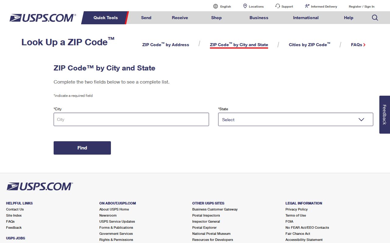
The screenshot shows the city-and-state lookup route. It does not establish a municipal parcel boundary. When a postal result and a municipal question diverge, use the City of Westfield GIS and the parcel CITY field for the municipal side of the question.
Westfield ZIP Code Search Steps
ZIP-based research works as a sequence of checks rather than a public roster. The city parcel REST layer exposes a ZIP attribute, but the public assessor screen had dynamic controls that did not reveal a verified ZIP-wide search button. The Massachusetts voter lookup accepts ZIP only as part of an individual confirmation. It cannot produce a ZIP roster.
- Verify the postal city and ZIP with USPS before treating the code as current.
- Open the Westfield GIS or assessor route for the known address and record the site address, CITY, and ZIP fields.
- Read the owner mailing ZIP separately from the situs ZIP. They may not be the same.
- If a block or ZIP-wide extraction is needed, use GIS software or request a public GIS extract. Do not claim that the public map offers an unverified export or filter control.
- For individual voter confirmation, use the state’s name, date-of-birth, and residential-ZIP requirements instead of attempting a ZIP list.
Once a ZIP has narrowed an address, the Westfield streets resource follows the address-keyed record trail. It handles the parcel, deed, and historical street-list questions that a postal code cannot resolve alone.
Westfield Situs and Owner ZIPs
Westfield’s parcel schema makes the key distinction explicit. ADDR_NUM, FULL_STR, SITE_ADDR, CITY, and ZIP describe the situs, meaning the parcel’s physical location. OWNER1 and OWN_ADDR, OWN_CITY, OWN_STATE, and OWN_ZIP describe the recorded owner’s mailing information. A tax-billing address can be elsewhere, can belong to an entity, or can simply be the place the owner receives mail.
| Parcel field group | What it describes | What it does not prove |
|---|---|---|
| SITE_ADDR, ADDR_NUM, FULL_STR, CITY, ZIP | The parcel’s situs and mapped local address | Every person associated with that address |
| OWNER1 and OWN_ADDR/OWN_CITY/OWN_STATE/OWN_ZIP | Recorded owner and mailing information | That the owner resides at the situs |
| LS_BOOK, LS_PAGE, REG_ID | Registry cross-reference | A complete household history |
Westfield’s parcel GIS REST layer is the official field-level source behind this distinction.
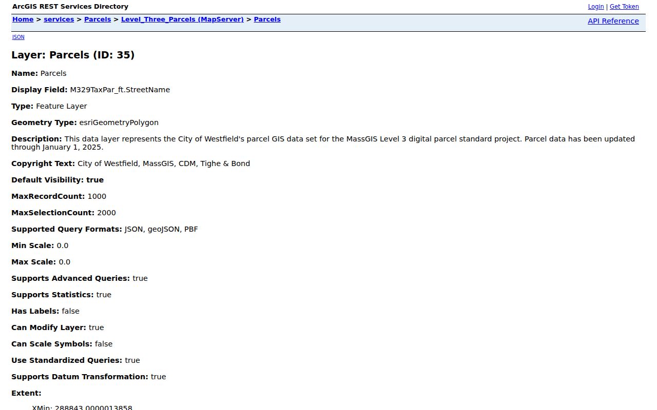
Use the parcel ZIP as a land-location clue and the owner ZIP as mailing information. The two fields are designed to be separate, and merging them creates a misleading ZIP code directory result.
Westfield ZIP Fields in Property Records
The Westfield Assessors portal is a current property-information route. Its FY2026 notice says its assessment reflects 2024 sales activity with an appraisal date of January 1, 2025, and it describes the information as an unofficial convenience record. The official property record remains at the Assessors office. City research advertises owner-name and address search, but the live controls were not exposed in the inspected text, so exact search labels and a public ZIP filter are not claimed.
| Field or control | Type | Verified use |
|---|---|---|
| Owner name | Advertised property-search route | Owner-name search is advertised; exact partial-match rule was not captured |
| Address or location | Advertised property-search route | Address search is advertised; exact live field label was not captured |
| ZIP | GIS attribute | Exposed in the REST schema; public portal ZIP control not verified |
| LS_DATE and LS_PRICE | REST attributes | Last sale date and price |
| USE_CODE, ZONING, YEAR_BUILT | REST attributes | Property context, not a postal assignment |
Westfield’s Appraisal Vision assessor portal is the landing page for the city property search.
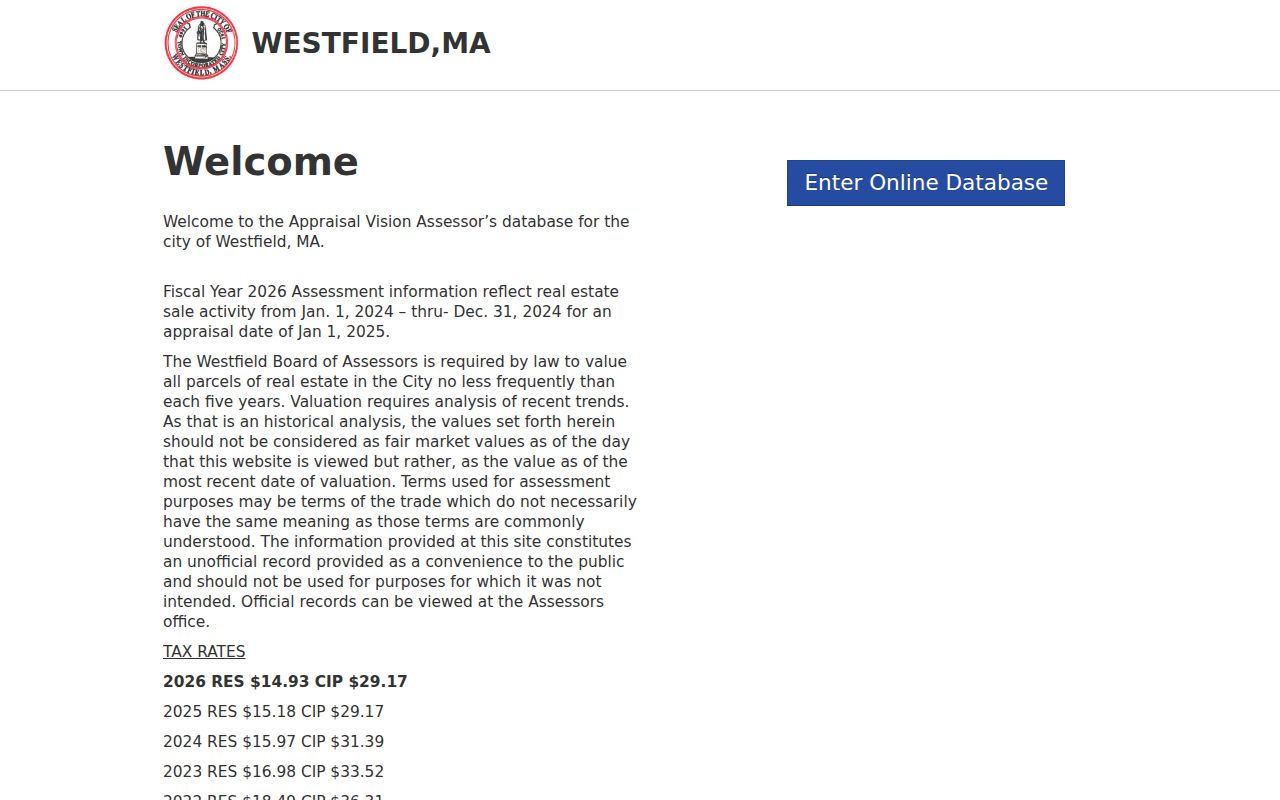
For an official correction, exemption, or abatement question, the Westfield Assessors office is at Room 111, 59 Court Street. The city identifies Chief Assessor Ashlie Brown and lists weekday hours of 9 to 5. That office is the proper source when portal data and an official card differ.
Westfield ZIP Code Boundaries
Postal geography and municipal geography answer different questions. A ZIP routes mail. A municipal parcel record identifies a city field and sits within mapped municipal data. The 2026 Westfield street map connects the city to Southampton, Holyoke, West Springfield, Russell, Granville, Montgomery, Southwick, and Yarmouth, but it is a navigation aid with no-warranty language. It does not prove a ZIP boundary or an address assignment.
Boundary check. Do not convert a Westfield mailing ZIP into a city-limit finding. Compare USPS verification, the parcel CITY field, and the municipal GIS for the specific address.
- ZIP
- A postal delivery code used by USPS, not a municipal jurisdiction line.
- ZIP+4
- An added delivery segment that refines a ZIP for mail handling; it does not change the city boundary.
- PO Box ZIP
- A code serving post-office boxes rather than a proven area of parcel situs addresses.
- Carrier route
- A mail-delivery grouping that is not a resident list or city-limit map.
Westfield ZIP Code Map Checks
Westfield’s 2026 street map was created in January 2026 using 2023 MassGIS imagery. Its A-S by 1-13 index grid, routes, and connections to nearby communities are useful for orienting a street before comparing a parcel record. The stated scale is one inch to 1,850 feet. The map’s no-warranty language is important: it helps navigate a city map, but it does not certify a postal delivery boundary, a parcel owner, or an address assignment.
Engineering is the city office identified for GIS and Assessor Maps. For a municipal question, preserve the map date and look at the parcel’s CITY field alongside its site address. For a postal question, use USPS verification. The research found no explicit city E911 assignment office, citywide numbering rule, or readdressing project page, so a familiar street name should not be used to fill that gap.
Westfield Voter ZIP Limits
The state voter tool uses a five-digit residential ZIP as one identity field with name and date of birth. It returns registration status, active or inactive status, polling place, and state or federal officials. It is not a ZIP code directory and does not make a statewide voter list available for ordinary public bulk use. Local public voter-list requests go to the municipal clerk and remain subject to field and confidentiality limits.
Westfield’s ward and precinct information can help understand civic geography, but it is not a list of residents. The city has six wards with A and B precincts, and polling places are a geographic layer. Never infer a person’s address or political choice from a ward, a ZIP, or participation history.
Westfield Addresses Before ZIP Codes
Historic Westfield sources should not be forced into modern ZIP labels. The Athenaeum keeps city directories from 1873 to 1989, street lists from 1930 forward, and tax lists from 1894 to 1929. Newspapers, maps, cemetery records, family files, and house-history material offer earlier address context. Use the street spelling, house number, ward, town, map grid, or legal book and page that belongs to the time period.
The city’s 2026 street map uses an A-S by 1-13 index grid and identifies major connecting routes. That grid can orient a current map search, but old records still need their original street form and a separate check for changes in spelling or numbering. No citywide Westfield renumbering rule or verified readdressing project was located.
Westfield ZIP Search Leads
A city or ZIP field can help narrow a Massachusetts occupational-license query, but the result remains a license identity or status record, not proof of residence. The state license search supports an individual or business choice, names, city, state, ZIP, board, license type, and license number. Use as many verified details as available, then reduce fields if no result appears, as the state instructions advise.
Massachusetts occupational license search provides the licensed-profession route.
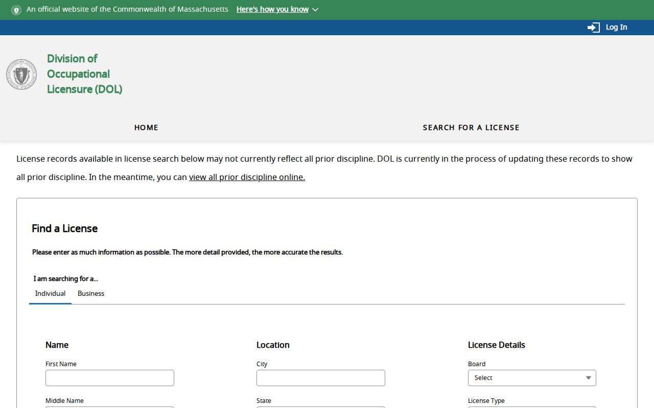
Unclaimed-property searching also uses a name and address match as a consumer-safety lead. An address in a result can be old, and a claimant must prove the claim. It should never be read as a current postal or residence directory.
Massachusetts unclaimed-property search is free and provides the state’s claim route.
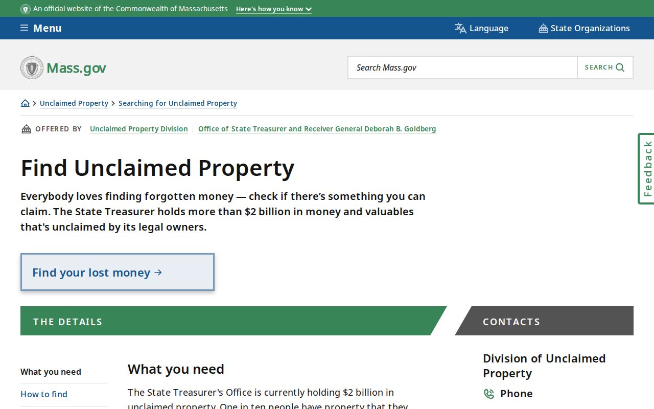
The state search does not charge an up-front fee. A demand for payment in an unsolicited “unclaimed money” message is a scam warning. Navigate independently to the official state route and verify any claim requirement there.